Interest in developing distributed generation and distributed storage projects is accelerating. Relative to utility-scale projects, distribution-level projects can be developed and constructed more quickly and at significantly lower cost, typically require engagement with only a single landowner, and avoid the lengthy and uncertain delays associated with interconnection queues.
However, only a small number of utilities make their distribution line locations publicly available, and locating the remainder can feel like a scavenger hunt. A newly released dataset simplifies that process.
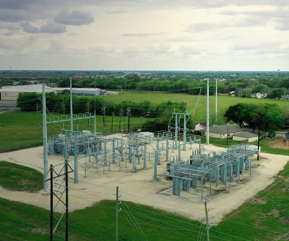
Distribution Line Software
The new dataset, the “Derived Map Of Global Electricity Transmission And Distribution Lines,” is now integrated into Transect’s environmental software.
Developed through a collaboration among ESMAP, Facebook, KTH, WRI, and the University of Massachusetts Amherst, the dataset is generated using an algorithm that estimates the locations of existing medium-voltage infrastructure, including some transmission lines. It provides valuable insight into energy access and supports more informed planning for future infrastructure and sustainable development projects.
The model uses "night lights" seen on satellite imagery taken at nearly every point on earth monthly around 1:30 am. The night light images are then filtered to highlight particularly bright surroundings, and then refined by combining other satellite data to include only areas with human activity. These light sources are then connected to known electricity networks through a least-cost routing algorithm following roads and known distribution lines (adopted from OpenStreetMap).
Because the dataset is modeled, it is subject to some inaccuracies. While the derived line locations can serve as a useful starting point, we recommend that developers verify locations using tools such as Google Street View. In addition, all publicly available utility-provided distribution line maps are also accessible within Transect. These utility maps include details not present in the derived map, such as line voltage, phase, hosting capacity, and the utility name.
Taking the Pressure off Developers
Locating these medium and high voltage lines will likely benefit the development process. Finding these utility lines is a feat that can be accomplished. Outages and environmental impacts do not have to be a natural development byproduct. Distribution line data can protect project timelines and the environment while helping reach renewable energy goals.
Sources
Arderne, C., Zorn, C., Nicolas, C. et al. Predictive mapping of the global power system using open data. Sci Data 7, 19 (2020). https://doi.org/10.1038/s41597-019-0347-4
Antoine, R., Arderne, C., Rogate, C. Using night lights to map electrical grid infrastructure. World Bank. April 29, 2019. https://blogs.worldbank.org/energy/using-night-lights-map-electrical-grid-infrastructure