Critical Habitat Designation
Free Permitting Checklist
Practical Tips to Avoid Environmental Risk on all Your Projects
Download our environmental permitting checklist to get a step-by-step list of ways to protect your project from the 9 most common environmental risks.
Download Your Checklist.webp?width=1500&height=751&name=AdobeStock_38578903%20(1).webp)
What is Critical Habitat Designation?
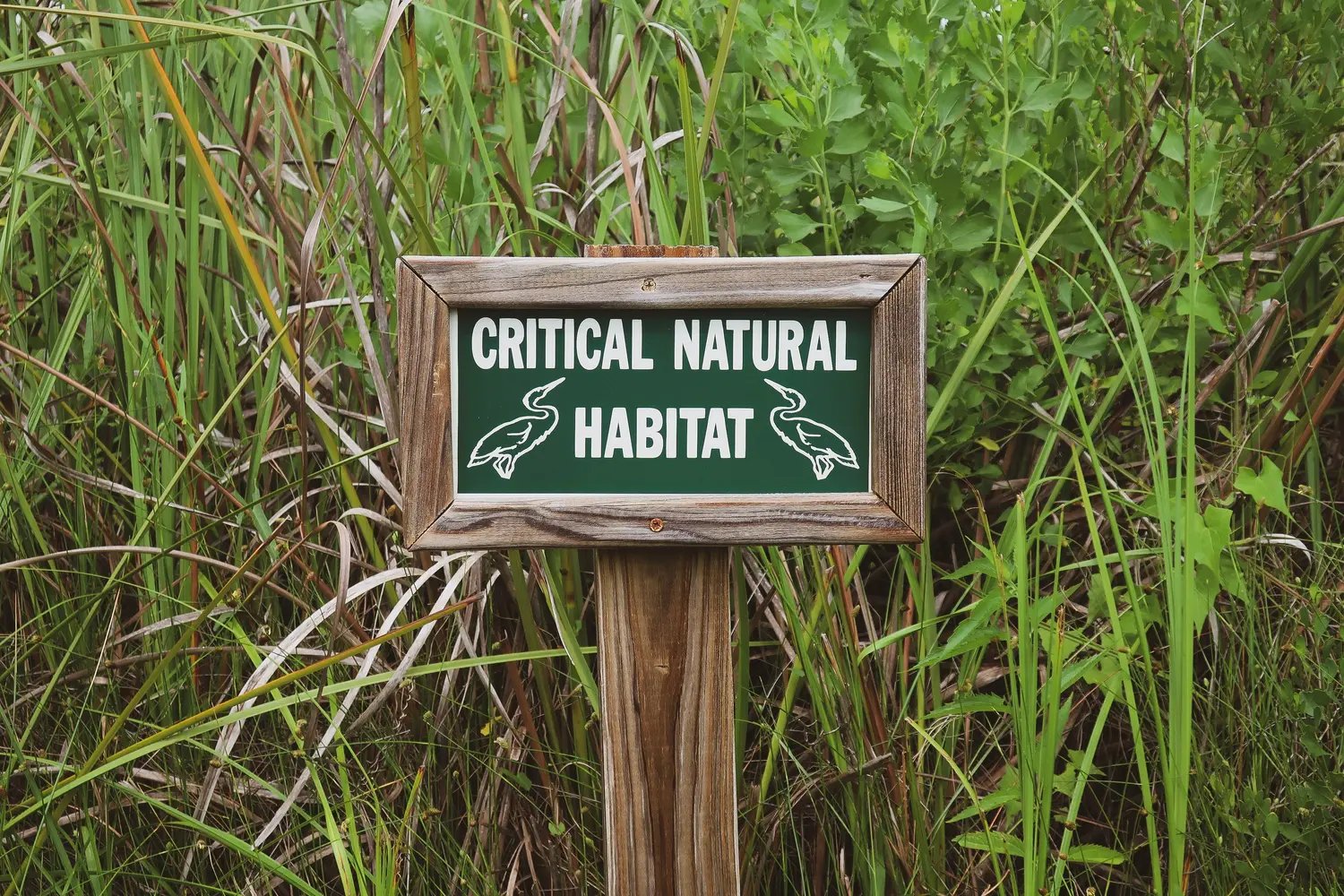
A Critical Habitat is a geographical area that contains unique natural characteristics such as soils and vegetation that support or is likely to support State or Federally protected species. These areas possess physical or biological features essential to the conservation of the species and a species’ survival. These areas may require specific management or protection.
Why Do We Designate Critical Habitats?
Critical areas help conserve, protect, and restore listed species. To list species under the Endangered Species Act (ESA), the best scientific data regarding the species' current state is considered. A species' ESA status may include "threatened" or "endangered" based on its specific needs. Efforts, such as establishing critical habitats as "safe zones" for the species, are taken to ensure protection. These areas are highly monitored and require extensive permitting to ensure all relevant impacts are considered during land development or disturbance.
Endangered Species Act: Section 7
The Endangered Species Act protects biological diversity via regulatory protection and is one of the many federal regulations created to protect U.S. natural resources. Under section 7 of the ESA, all federal agencies must consult with the United States Fish and Wildlife Service (USFWS) before taking actions that could impact a protected species or its critical habitat. Impacts on species include both destruction and modification of their habitat.

Who Determines Critical Habitat Areas?
U.S. Fish and Wildlife Service
The USFWS manages regulatory action to preserve ecosystems and other natural resources.
National Marine Fisheries Service (NOAA Fisheries)
Like USFWS, NOAA Fisheries is given the authority to designate critical marine habitats. Other federal agencies must consult NOAA when they may take actions to impact these areas.
Designation of Critical Habitat Process
Once a species is listed under the ESA, the USFWS will evaluate its habitat to note all biological and physical features crucial for its survival. These features include but are not limited to shelter, food, and space for population growth. They then must determine if there is reasonable certainty to conclude that this area is needed for continued existence.
The USFWS will propose their findings and critical habitat designation within the Federal Register as part of the rulemaking process. The designation is open to review from the scientific community and public comments. The USFWS may change the proposed designation after considering all environmental and economic impacts related to the habitat. They will publish their final rule regarding the habitat in the Federal Register.
Free Permitting Checklist
Practical Tips to Avoid Environmental Risk on all Your Projects
Download our environmental permitting checklist to get a step-by-step list of ways to protect your project from the 9 most common environmental risks.
How Does Land Ownership Impact Critical Habitats
Unoccupied Areas
Unoccupied areas are typically not considered critical habitats. However, if the areas currently occupied by the species are insufficient to ensure species conservation, an unoccupied region that possesses the biological and physical features necessary for species survival can be deemed a critical habitat for the species.
Private Land
Private landowners are unaffected by critical habitat designations. These areas can only be assigned on land that has federal “nexus,” as in federal funding or a federal permit is required. Private property cannot be regulated or seized as a conservation area.

How to Locate Critical Habitat or Threatened Species
National ESA Critical Habitat Mapper
Created by NOAA Fisheries, this platform allows land developers to view all critical habitat data. The metadata is available in NMF’s InPort. The proposed rule or code associated with each habitat is available with the habitat information.
Transect
Transect is an environmental due diligence software that allows land developers to see all their project's red flags within minutes. Identifying critical habitats is typically accomplished during the environmental consultation process but can be viewed using this software. Site-specific environmental information regarding features such as endangered species, critical habitats, wetlands, waters, and required permits is available via Transect
Free Permitting Checklist
Practical Tips to Avoid Environmental Risk on all Your Projects
Download our environmental permitting checklist to get a step-by-step list of ways to protect your project from the 9 most common environmental risks.
