Skip to the main content.
Schedule a Demo Login

Protected Lands

Free Permitting Checklist

Practical Tips to Avoid Environmental Risk on all Your Projects

Download our environmental permitting checklist to get a step-by-step list of ways to protect your project from the 9 most common environmental risks.

Download Your Checklist
joshua tree credit daniel schwartz

Transect multi-layer mapping software shows protected land and other environmental compliance.

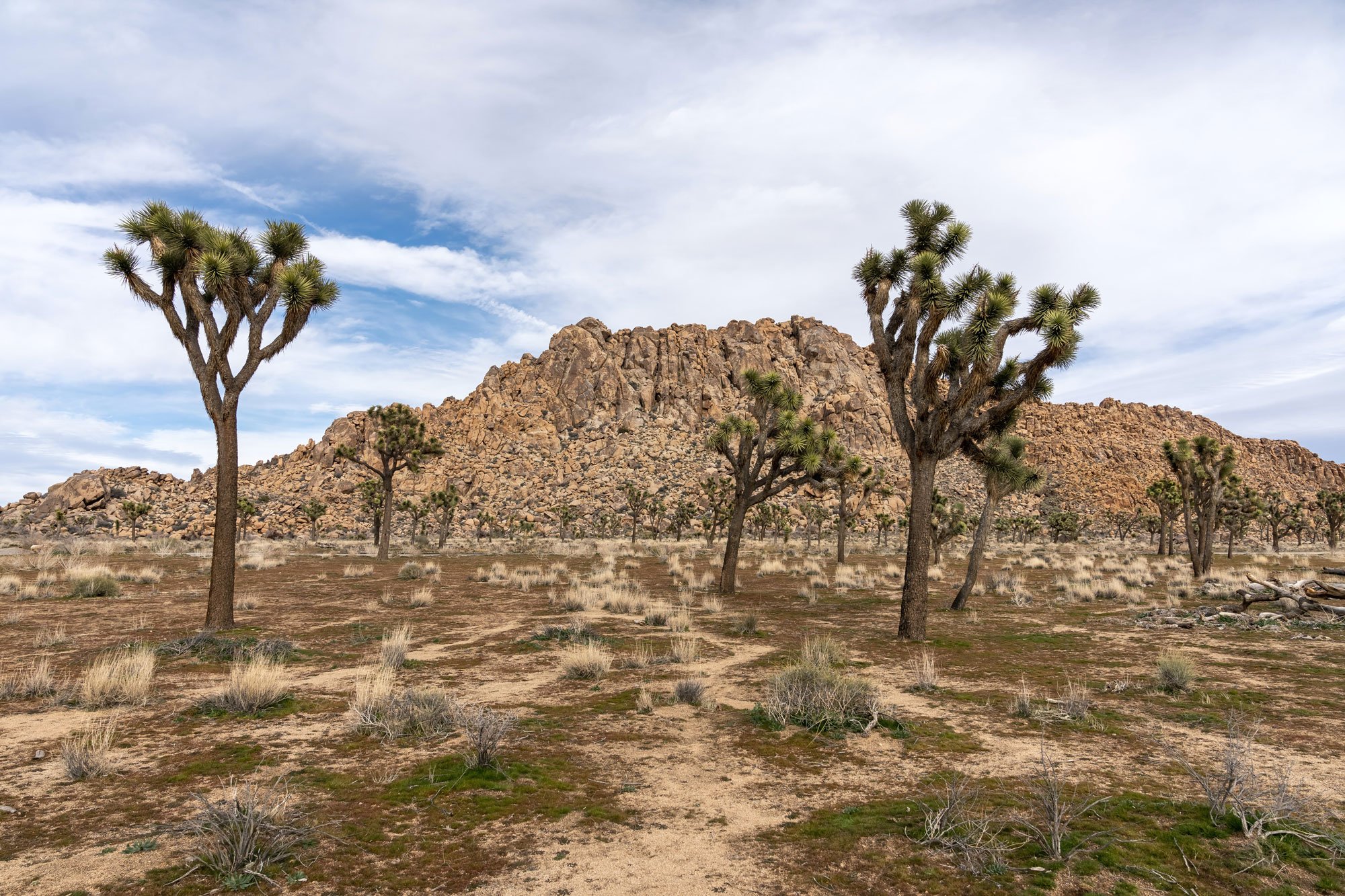
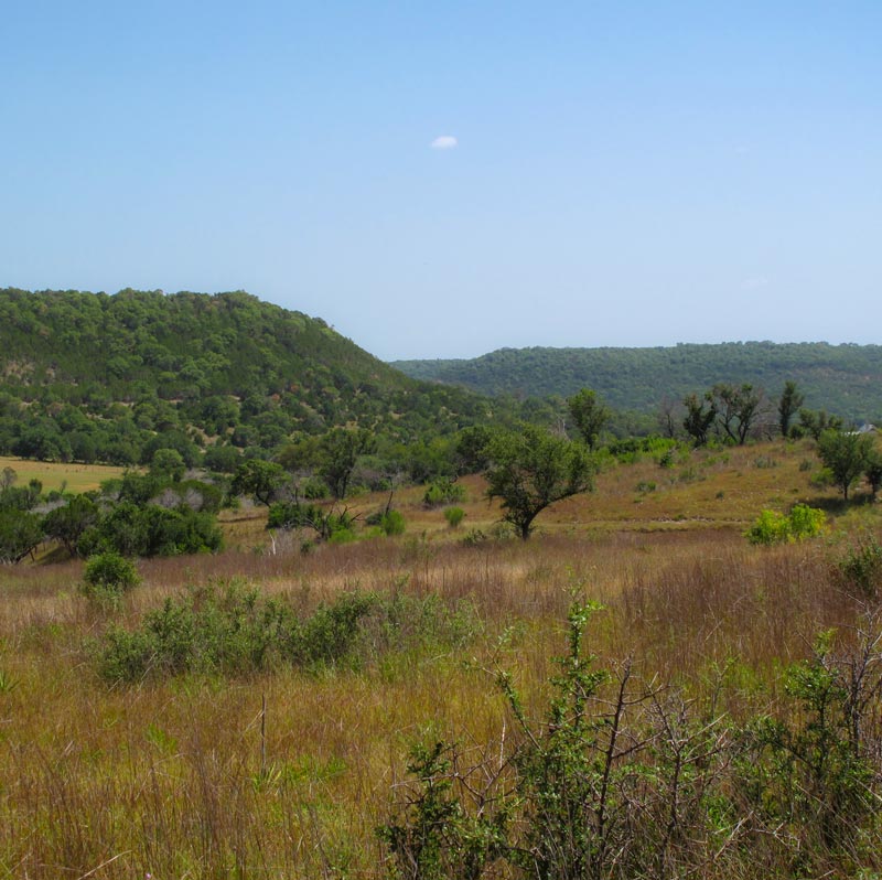
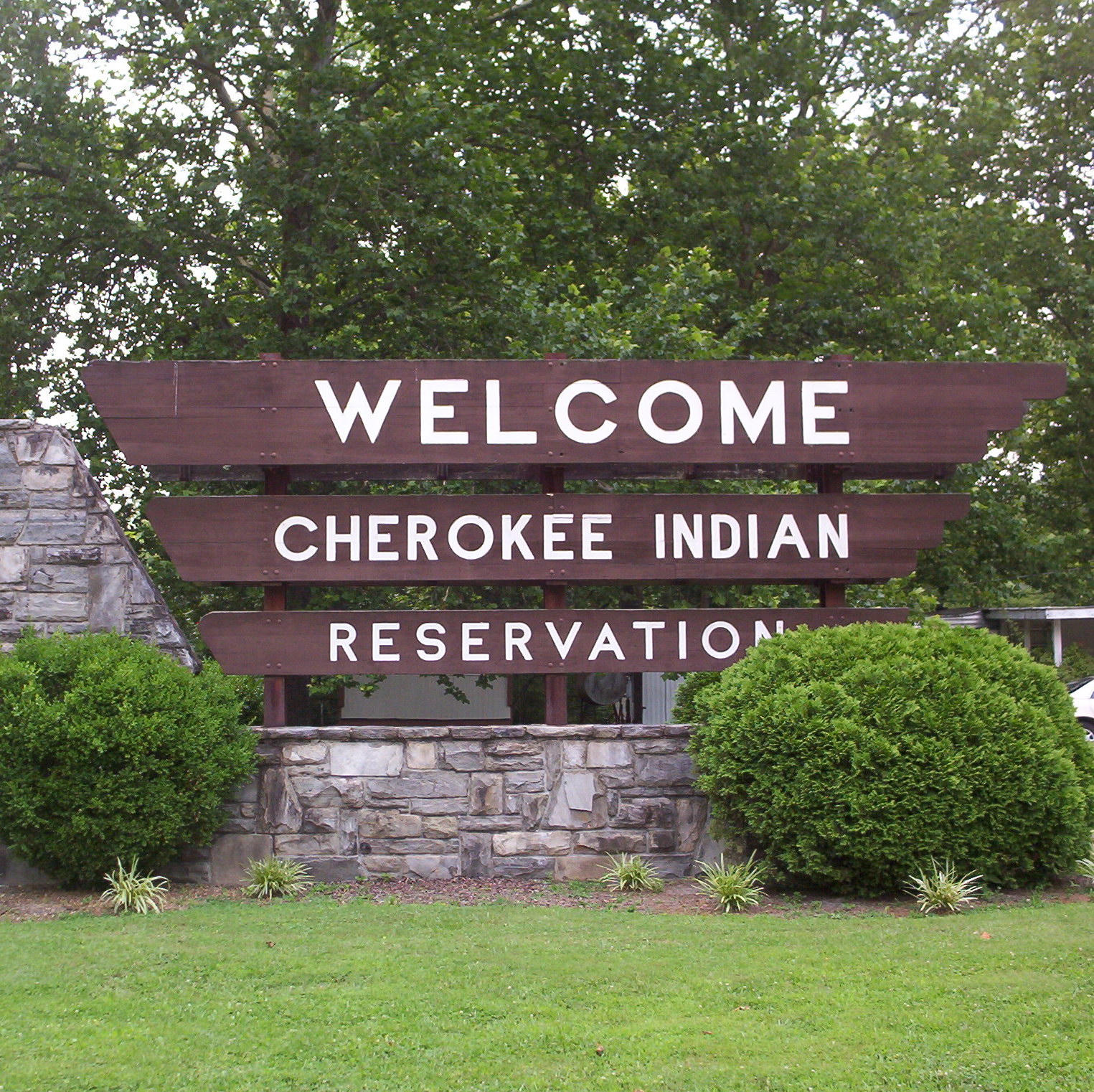
What are Protected Areas? 

Protected land areas are the federal, territorial, Native American, state, regional, local, non-governmental, and private conservation lands set aside to preserve biological diversity or for recreational purposes.

These lands are legally protected and can be endangered species hot spots that require additional regulation. Development within these lands typically triggers further environmental review or permitting. As such, it is essential to know about the location of protected lands within and in the vicinity of a proposed project, as development within protected lands can drastically affect a project's timeline, budget, and footprint.

What Laws and Regulations Govern Protected Lands?

City, state, and federal levels regulate protected lands. The Council on Environmental quality manages the following federal laws as standards for environmental compliance for protected lands.

The following laws and authorities govern protected areas and land in the United States:

National Environmental Policy Act

Compels federal agencies to ensure that public and private projects that intersect federal lands address and mitigate significant environmental impacts.

Antiquities Act

Passed by Theodore Roosevelt in 1906, the Antiquities Act allows the creation and protection of national monuments to preserve significant natural and cultural resources.

The Wilderness Act

Passed by Lyndon B. Johnson in 1964, the Wilderness Act started our National Wilderness Conservation System. This act allows protection for over 750 wilderness areas.

State Antiquities Codes

These codes are state law that requires considering historic and cultural resources for state, county, or city land developments. Not all states have an antiquities code.

Conservation Easements

This legal instrument sets aside land for conservation and removes the ability to develop parts or all of a site.

How to Find Protected Areas Near Me

There are various ways to identify protected areas in the United States, including the Protected Areas Database website.

Environmental Consulting

Environmental consultants are individuals trained to look for environmental risk, such as an endangered species or protected natural resources, within the boundaries of a project site. These experts are educated in the biological and regulatory aspects of the development process and aid their clients during the permitting process. Environmental consulting occurs during the environmental due diligence stage of development. They will perform a geological survey and additional land surveys to determine if protected land is present on a site. This process typically takes weeks to months to receive a full report with the next steps. These individuals provide additional environmental services to manage environmental constraints and setbacks throughout a project.

However, one of the easiest ways to identify protected lands is to use online environmental due diligence tools.

Protected Lands Mapping

Due diligence tools, such as Transect, evaluate your proposed project and identify protected lands intersected and within the boundaries of your site. These tools will show you additional environmental constraints for a project site, such as a protected species or water protected by the Clean Water Act, and the overall concern levels for your site.

Environmental due diligence goes beyond identifying protected land on your development site. Software like Transect also provides you with a multi-layer map of species of concern, wetlands, regulation locations, and infrastructure to consider when developing. This map allows developers to see how much of their project’s land cover is viable for development before breaking ground.

Free Permitting Checklist

Practical Tips to Avoid Environmental Risk on all Your Projects

Download our environmental permitting checklist to get a step-by-step list of ways to protect your project from the 9 most common environmental risks.

Download Your Checklist

Protected Areas Database (PAD-US)

The U.S. Fish and Wildlife Service created PAD. The USGS Protected Areas Database is America's official inventory of terrestrial and marine protected areas. PAD includes federal, state, regional, local, joint, and governmental organizational interests. In Transect, PAD data informs customers of two critical things:

  1. Land ownership information, and
  2. Regulations or permits related to land ownership impact the project's footprint, timeline, or budget.

This tool does not provide real-time, site-specific information. Additional environmental services via consultants or other due diligence tools would be necessary.

The Importance of Protected Land Mapping for Site Selection

Mapping protected lands is a critical part of site selection. Developers should know the overall concern levels, protected acres covered, and jurisdiction of protected land on their potential site for proper site selection. Many regulations and permits apply for developments that may impact protected lands. These regulations can be affected at any level depending on the land ownership of the property.

Protected Land Regulatory Requirements 

There are several different categories of land ownership, and each one has a unique type of regulatory requirement:

  • Fee: Land owned outright by public agencies, nonprofits, or private entities.

  • Easement: The National Conservation Easement Database (NCED) provides non-sensitive conservation and open space easements.

  • Designation: Not an ownership boundary. Instead, these are policy-designated areas that may overlap fee-owned land, easements, or other designations.

  • Marine Area: These are protected waters, including federal, state, and local areas in the National Oceanic and Atmospheric Administration (NOAA) MPA inventory, as well as Bureau of Ocean Energy Management (BOEM) managed areas.

  • Approved, Proclamation, or Extent Boundary: Not an ownership boundary. These are administrative boundaries used for management or reference purposes. These are areas where a land agency may want to secure more land or make overall plans. These boundaries frequently include significant private land, but no agency has jurisdiction over them.

  • Combined: Includes one or more of the above categories.

Additional regulation can impact a project’s budget, timeline, and success via the prior federal rulings. By practicing environmental compliance and early-stage environmental due diligence via proper site selection, developers can plan for many of these setbacks, if not entirely avoid some. Developers can mitigate project cost and risk by having critical information regarding your project’s environmental constraints when choosing a site.

Learn about how federal protected lands trigger NEPA here

Free Permitting Checklist

Practical Tips to Avoid Environmental Risk on all Your Projects

Download our environmental permitting checklist to get a step-by-step list of ways to protect your project from the 9 most common environmental risks.

Download Your Checklist