
Floodplain Analysis
Free Permitting Checklist
Practical Tips to Avoid Environmental Risk on all Your Projects
Download our environmental permitting checklist to get a step-by-step list of ways to protect your project from the 9 most common environmental risks.
Download Your Checklist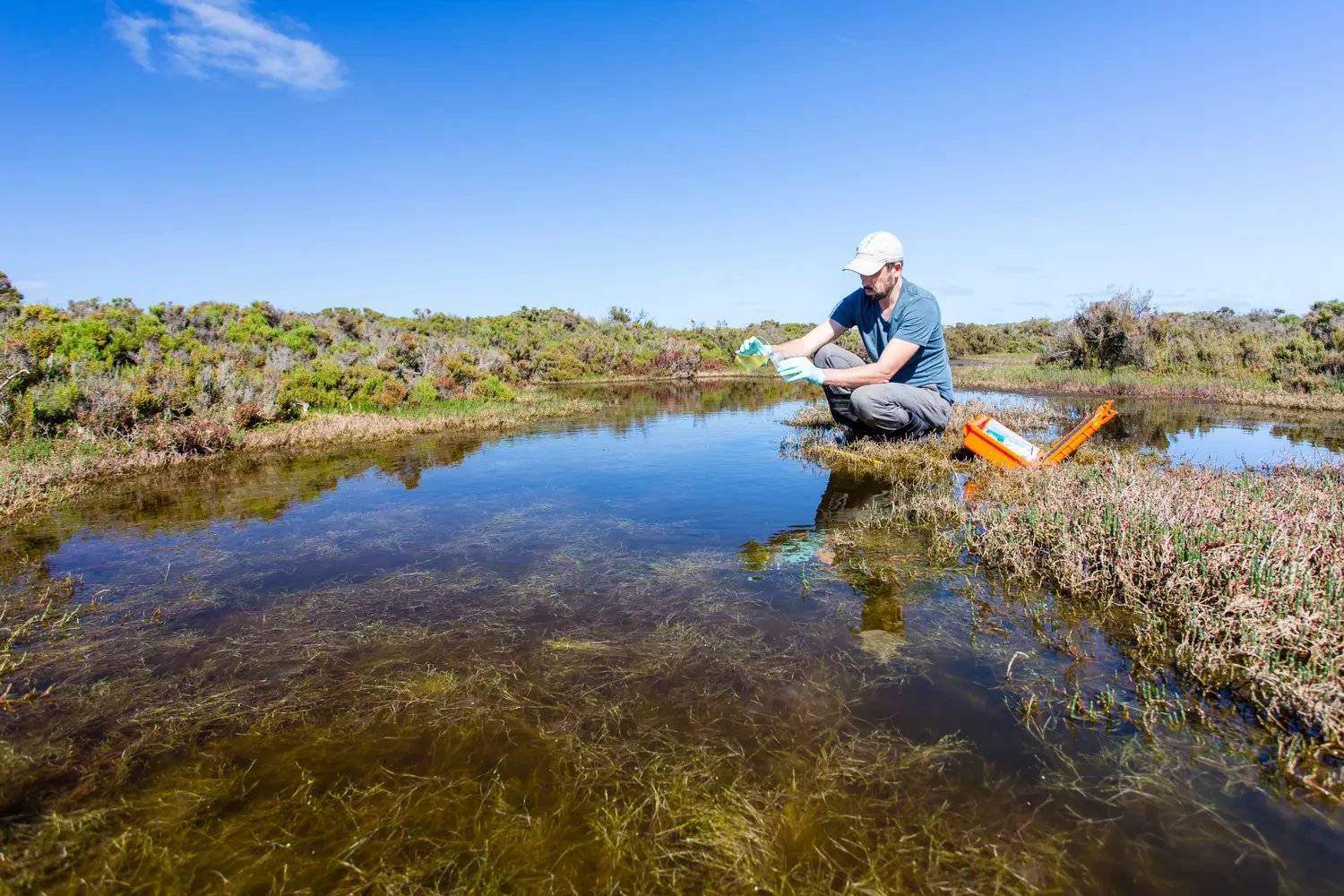
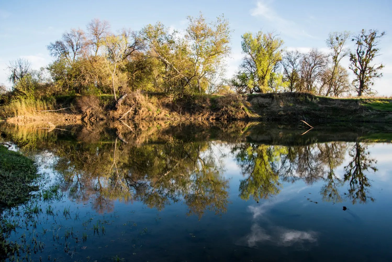
Definition of a Floodplain
A floodplain is a flat land area adjacent to a stream or river that receives overbank flow when a river channel is at the flood stage. This land absorbs excess water during a flood event and reduces the risk of damage or runoff pollution during heavy precipitation.
What is a Floodplain Analysis?
Floodplain analysis is the process that determines a floodplain's boundaries regarding its present condition and the proposed condition in which potential new construction could disrupt the current floodplain boundaries.

Floodplain Characteristics
The appearance and seasonality of floodplains can vary. Some floodplains may be vast, while others may be narrow and seemingly unrecognizable. Erosion and aggradation (alluviation) shape these floodplains over time. However, specific characteristics are present regardless of these periods of change.
The Main Channel
The main channel is the floodway of the river itself. Floodways can be seasonal, leaving the river dry for some of the year due to this longer recurrence interval.
The Flood Fringe
This floodplain portion stretches from the floodway's outer banks to a river valley's bluff lines, containing slow-moving water. Alteration to the flood fringe usually does not impede the floodway. Permits allow for obstruction or development of this feature if the project meets specific standards.
Base Flood Elevation
These flood levels are the water surface elevation a floodplain may reach or exceed during a base flood. A base flood is a flood event with a 1% chance of occurring in a year. This event is sometimes called the 100-year flood and the 100-year floodplain. The 100-year floodplain covers both the floodway and flood fringe.
Geology of a Floodplain
Erosion
As a river meanders, the riverbank erodes over time. This erosion alters the appearance and potentially the functionality of the floodplain. The impact erosion has on the alteration of a floodplain’s functionality is seen in the creation of Oxbow lakes. These lakes are created when a portion of this river is cut off from the rest of the flow. This erosion and alteration of terrain can also contribute to the floodplain’s aggradation or elevation build-up.
Aggradation
As the floodplain experiences multiple flooding events and the river flow moves rocks and sediment, the floodplain elevation builds. This process is referred to as aggradation or alluviation.
Levee
Repeated flooding will create a levee. Large, coarse material deposited on the riverbanks makes a levee. This new pile of deposited material may cause the river to flow well above the floodplain as more material is deposited.
Why is Floodplain Management Important?
Floodplains connect to a variety of our environmental resources. These features contribute to natural resources such as groundwater recharge, our clean water system, and wildlife habitats. Floodplains retain excess water, nutrients, and pollution to aid flood control and create a healthier watershed.
Additionally, there may be many environmental permitting requirements attached to floodplains. Following the rules and regulations for your project site is best to avoid expensive fees and mitigation delays.
Floodplain Insurance and Urban Planning
Land developers should consider costs outside of labor and materials. For land developers near floodplains, flood insurance or flood damages can drastically impact the project budget. While incentives such as the National Flood Insurance Program (NFIP) aim to align floodplain management and insurance, land developers should know how these additional steps and costs can impact their projects.
Flood Insurance Rate Map (FIRM)
A FIRM shows areas the Federal Emergency Management Agency (FEMA) has identified as Special Flood Hazard Areas (SFHAs) and a risk to the surrounding communities. These maps impact flood insurance costs for those specified areas and can add to project costs and risks. FIRMs serve as the foundation for floodplain insurance activities, mitigation, and management per the National Flood Insurance Program (NFIP.) Mitigation efforts such as the creation of culverts can originate from this data.
Flood Insurance Study
These studies are completed by FEMA and local agencies to update floodplain and flood hazard data. The same analyses used in this process make up the data for FIRMs.
How to Conduct a Floodplain Analysis
Hire a Consultant
These environmental experts identify environmental red flags and risks on a project site. They follow required, regulated processes such as delineation of water resources to see how a project will impact the environment. These experts provide a detailed report regarding all the rules, regulations, and permits that apply to a land development site. The completion timeframe for this type of report ranges from a few weeks to a few months.
National Flood Hazard Layer (NFHL): GIS Datasets
This dataset is a Geographic Information System compiled from records of present floodwaters to identify potential flood hazard zones. This tool can aid in identifying potential project sites during the site selection stage of land development.
Hydrologic Engineering Center's (CEIWR-HEC) River Analysis System (HEC-RAS)
This U.S. Army Corps of Engineers (USACE) software uses hydraulic analysis, aerial maps, and other inputs to measure water, velocity, flow, discharge, cross-section, and profile. Though a helpful tool, it can only be accessed by permitted individuals.
Flood Maps: Transect Floodplain Mapping Tool
This software is an online environmental due diligence tool that provides site-specific environmental data in minutes. This tool can identify waters on a project site and all required actions and permits for interacting with those waters. Transect uses public datasets in addition to expert knowledge to populate information on flood maps across the United States.