
GIS Software
Free Permitting Checklist
Practical Tips to Avoid Environmental Risk on all Your Projects
Download our environmental permitting checklist to get a step-by-step list of ways to protect your project from the 9 most common environmental risks.
Download Your Checklist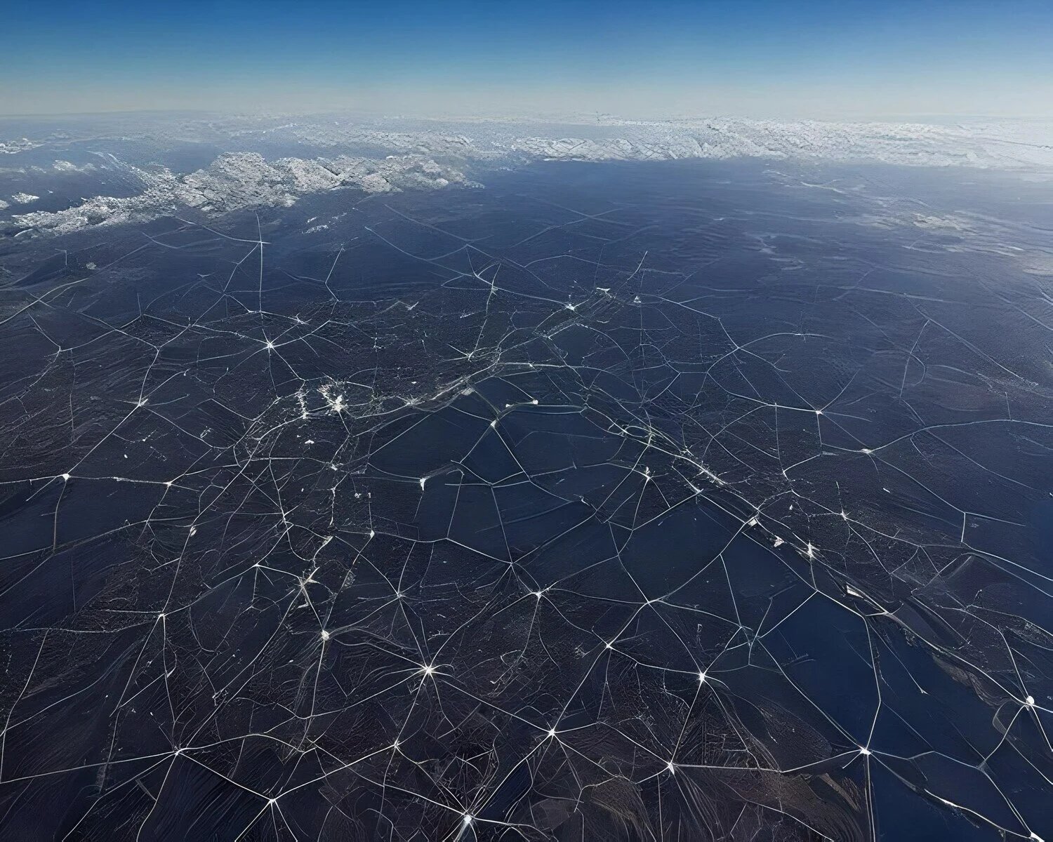

Geographic Information Systems (GIS) Software
The history of humanity is the history of knowing where things are. Over the millennia, our mapmaking abilities have advanced apace. From the Minoans’ nautical cartography to the complex GPS software we use to find the dentist’s office, maps inform our everyday lives.
Yet, in this information-based world, simple mapping isn’t enough. For a truly informed spatial analysis, we need the ability to pin datasets of any kind to a web map, thereby creating a complete visualization in any category: land use, building distribution, waterways and wetlands, or all of them together. This ability to visualize all of these elements is provided via GIS software.
The power of geographic information systems is their ability to collate information of any kind and pin it to a location. With mapping software that aggregates significant varieties of 3D geospatial data and gives it to us in the form of apps available through desktops and devices, we have hitherto untold powers of research.
This is critical information for developers looking to understand parcels of land before purchasing them or breaking ground.
What Is GIS Software? History and Definitions
GIS software is, according to National Geographic, “a computer system for capturing, storing, checking, and displaying data related to positions on Earth’s surface.” This data can be related to anything, so long as it is in some way mapped locationally to the Earth.
While GIS data is often information-based (think geocoding, which uses vector coordinates), it can also be image-based. There are two basic image formats for GIS data: vector and raster:
-
Vector: In vector images, programs render detailed maps or locational data with points, lines, and polygons (squares, rectangles, and regular or irregular polygons, among others). The defining characteristic of vector images is that because they are mathematical representations of images, they maintain their crispness as you zoom in.
-
Raster: With raster images, each cell or pixel is a different color. When zoomed out, they can look very detailed (think high-resolution photos). However, when you zoom in, you will begin to see individual cells. That’s how even a high-resolution photo can get “pixelated” if you look too closely.
GIS software can leverage either data type to represent information about a certain area of the Earth. Typically, such data is collected through remote sensing, which involves satellites or high-flying aircraft that tie physical attributes of the planet to coordinates.
There are many different ways to encode GIS information. GIS software is available to operating systems such as Windows, Mac, and Linux. It can be stored in databases such as SQL or Oracle. GIS programmers may use languages such as Python, C++, or .NET.
In addition to paid software, you can also leverage open-source GIS software, which has been around for decades. Examples include GRASS GIS, OpenStreetMap, QGIS, ESRI, and PostGIS. Others, such as MapInfo, are not free.
Transect is a different mapping platform that incorporates many components of GIS software as well as regulatory, cultural, environmental, and other facets of permitting and development. More on that below.

Who Uses GIS Programs?
A wide variety of professionals use GIS software. For instance, marketing teams and retail chains use GIS software that correlates population density, eating preferences, and affluence in a spatial database to determine where to site new shops and restaurants.
Natural disaster response teams use GIS to figure out how best to react in an emergency, be it an earthquake, tsunami, volcanic eruption, or prolonged power outage.
Communications experts use it to make decisions about the locations of cell towers, cables, and other types of connectivity infrastructure. The government frequently uses GIS software for defense and public works projects, while scientists use it to track species, populations, and resource management.
Prime among those leveraging the power of geographic information systems, however, are land developers.
What Are the GIS Applications for the Land Development Process?
GIS programs are incredibly useful for decision-making in land development, including:
-
Where to locate specific utility, housing, or other development projects
-
Which risks correlate with specific geographic data
-
Whether a project conforms to regulations and the area’s land use plan
… and more. Geospatial functionality is an excellent tool for data management because it allows you to perform a geospatial analysis of a certain piece of land using layers separately or together.
Two of the biggest GIS mapping treatments include site selection and risk assessment. Let’s take a look at each.
Site Selection
When choosing a site, GIS software enables you to create elaborate cartographic visualizations of a particular area using any facet desired: water use, buildings, natural structures, distribution of species, land use types, and so on.
Many of these are framed as interactive maps, so you can explore the data in many different ways. You can also examine layers one at a time or as a whole, compressing all the layers of interest to see them together.
Risk Mapping Software
Using location intelligence, GIS tools can also help you perform detailed risk assessments of particular areas. This is another potential layer that can help determine whether a particular area is ripe for development.
GIS Mapping Platforms
How can we use GIS in business? Here are two possible options.
ArcGIS
ArcGIS (including ArcGIS Online and ArcGIS Pro) is a popular GIS tool. While it does provide granular geospatial information, it lacks much of the data land developers require..
For example, it will show you water usage in a particular area. But if you are interested in determining whether a plot is available for development vis-à-vis wetland rules, you can’t take a look at its water use and correlate those to applicable regulations.
It also fails to include information regarding permitting, environmental risk, tax incentives, or other Need To Knows for developers. That’s where Transect comes in.
Transect
Transect is a software platform that provides the value of a traditional desktop GIS application by offering a variety of geoprocessing, data visualization, and mapping tools. It can give you a detailed look at typical geospatial information, but it is not solely a GIS platform. It also includes data on environmental risks, required permits, tax incentives, and more.
Such a GIS software package enables in-depth data analysis that simplifies the site selection and permitting processes and helps you avoid transactions until you’re certain of a property’s worth.
If you’re curious about how this can aid in the decision-making process for land developers, the Transect team is here to answer your questions about functionality and pricing. All you have to do is get in touch today!