Identify and mitigate real estate development risks early
Reduce risk
Verify site assessments from your subcontractors
Increase accuracy
Get accurate cost estimates with automated site evaluations
Boost profitability
Reduce the time and cost to assess potential sites
Evaluate sites in minutes, not weeks
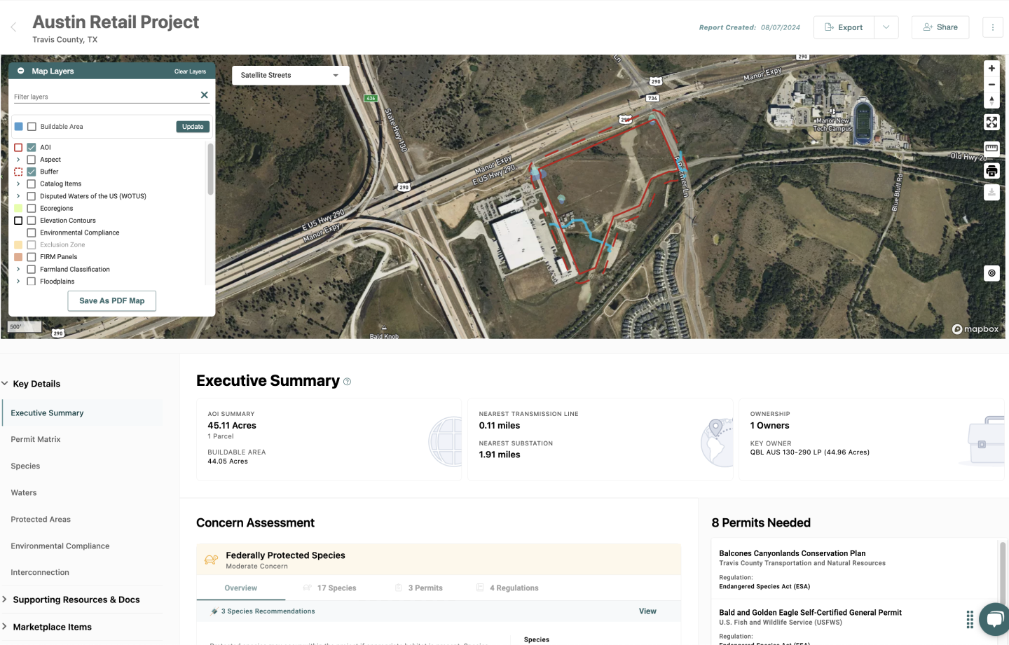
Confirm the buildable area of a development project
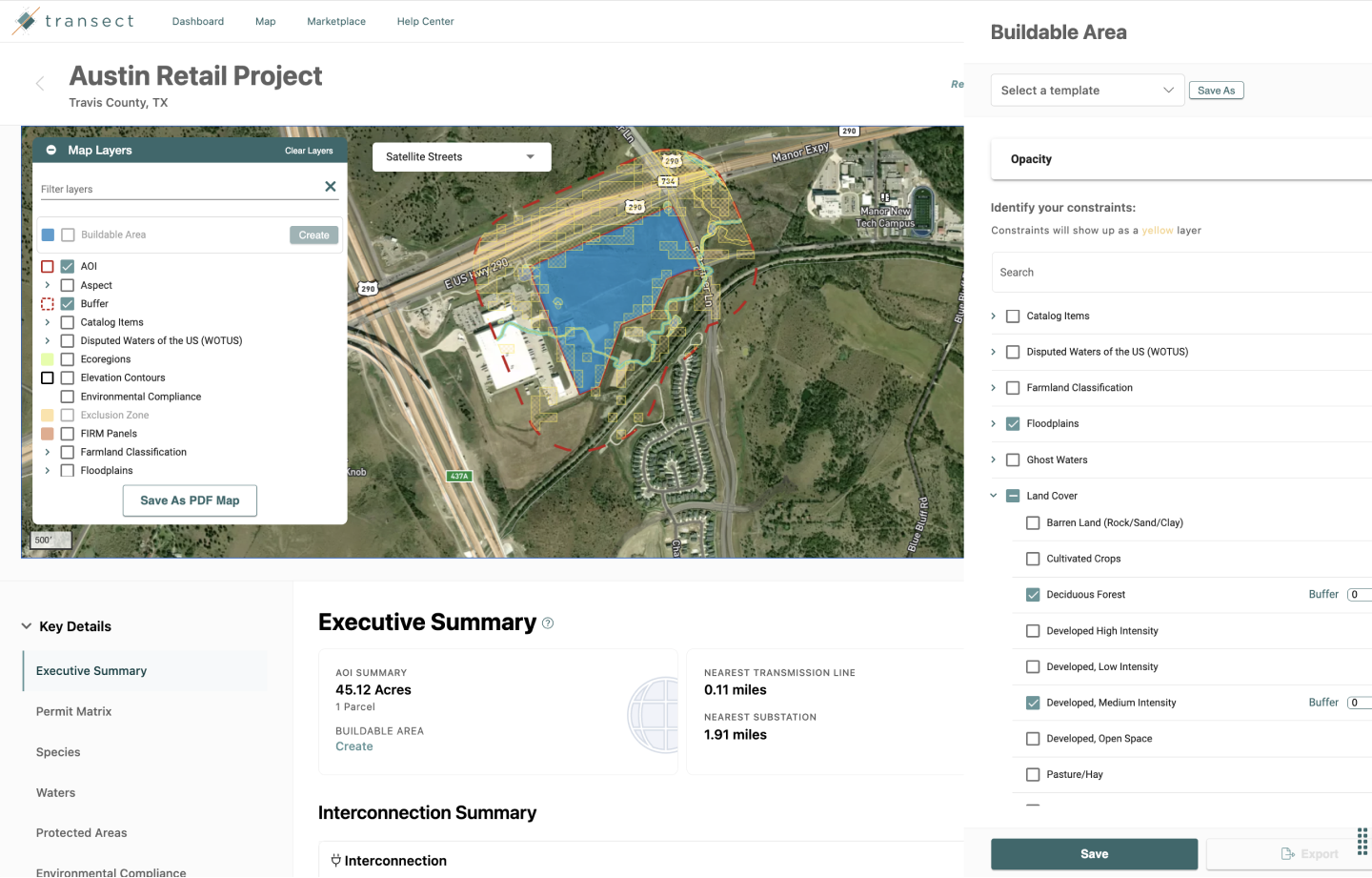
Stay on top of environmental permits
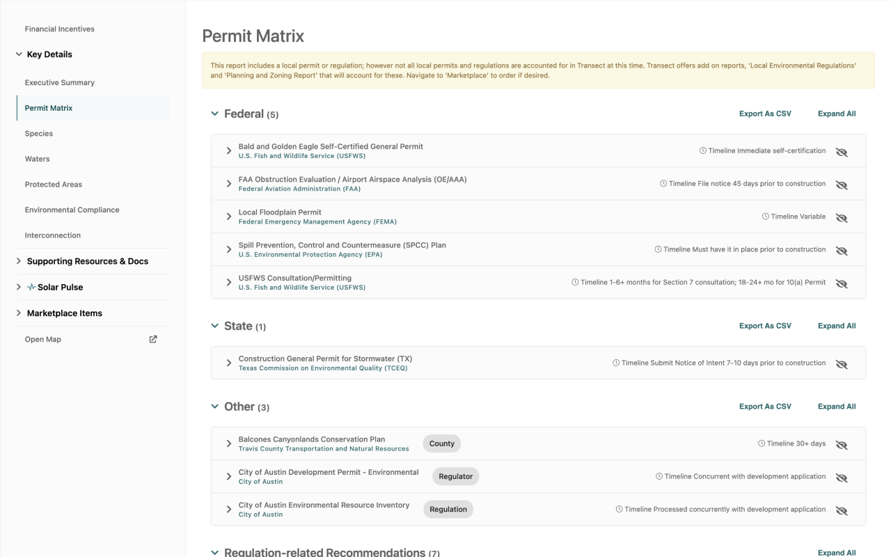
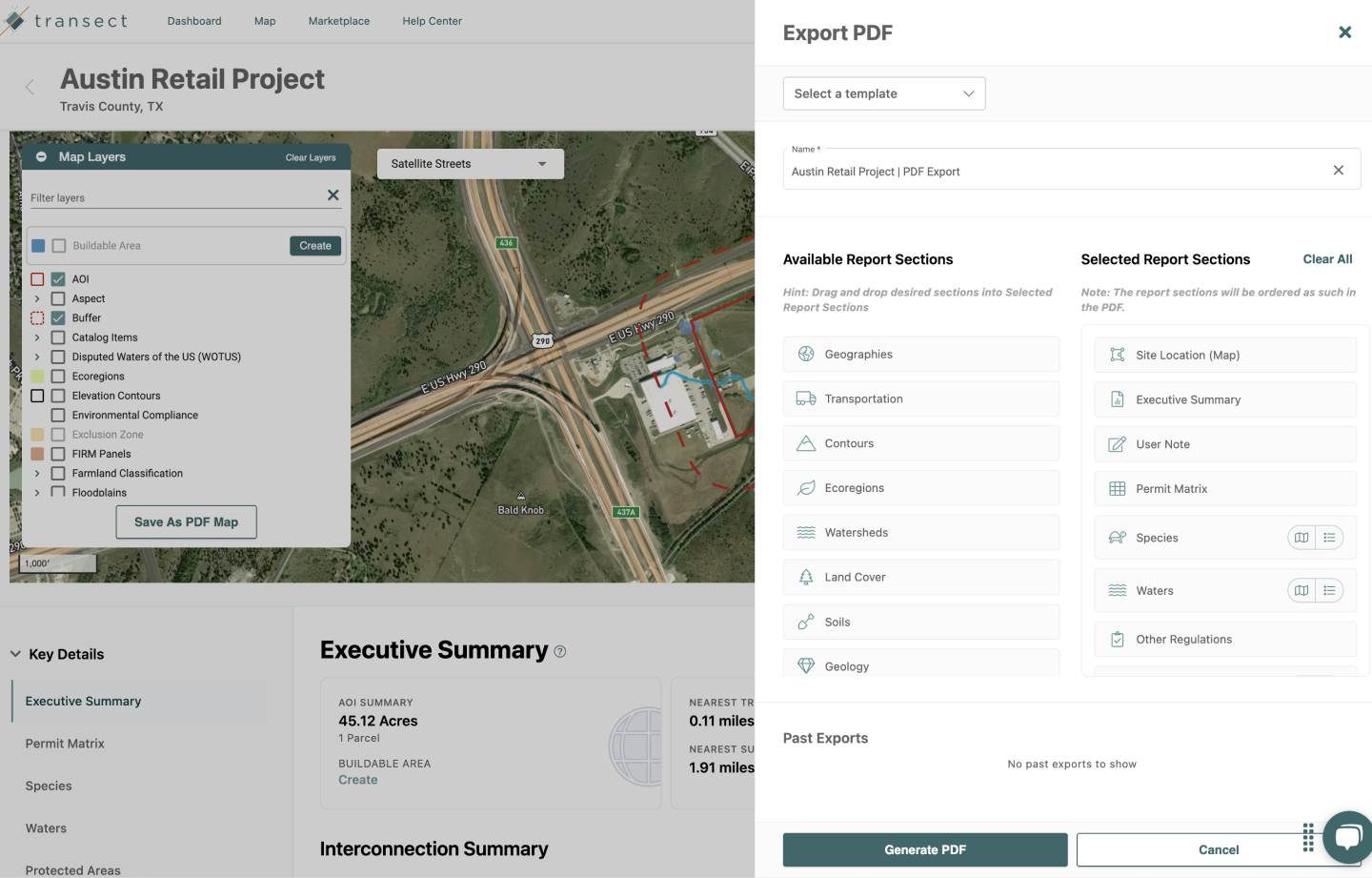
Create customizable reports
Industry insights
1-Click Mini Report
Discover potential bottlenecks in a click! Identify species risks, water, and electrical infrastructure instantly for any parcel.
Try now.png?width=250&height=250&name=Thumbnail%201%20(1).png) Case Study
Case Study
The Developer
See how this developer narrowed down over 30 million acres to 58 viable sites within hours.
 Article
ALTA Survey Troubles?
Tackle ALTA Survey troubles head-on with expert solutions for renewable energy projects.
.png?width=250&height=229&name=Thumbnail%20(2).png) Insights
Insights
Land Development Basics
Revisit the basics of land development, acquiring land, planning, and due diligence.
.png?width=250&height=250&name=Spotlight3%20(2).png) Checklist
Checklist
Environmental Permitting Checklist
Learn what it takes to assess, select, and choose the perfect site for your project.
 Case Study
Yarotek
Yarotek streamlines its land assessment and selection process.
.png?width=250&height=230&name=Thumbnail%20(4).png) Case Study
Case Study
ONYX Renewables: Trends & Insights
Explore insights on the intersection of clean energy trends, tech, and regulatory frameworks.


