Habitat Assessment
Free Permitting Checklist
Practical Tips to Avoid Environmental Risk on all Your Projects
Download our environmental permitting checklist to get a step-by-step list of ways to protect your project from the 9 most common environmental risks.
Download Your Checklist
A species' habitat is a sensitive environment specific to a particular species' life history. Human interaction, climate changes, and invasive species are just some factors that can disrupt a species’ ecosystem. Habitats surround us in wetlands, streams, uplands, and potential project sites everywhere.
What is a Habitat Assessment?
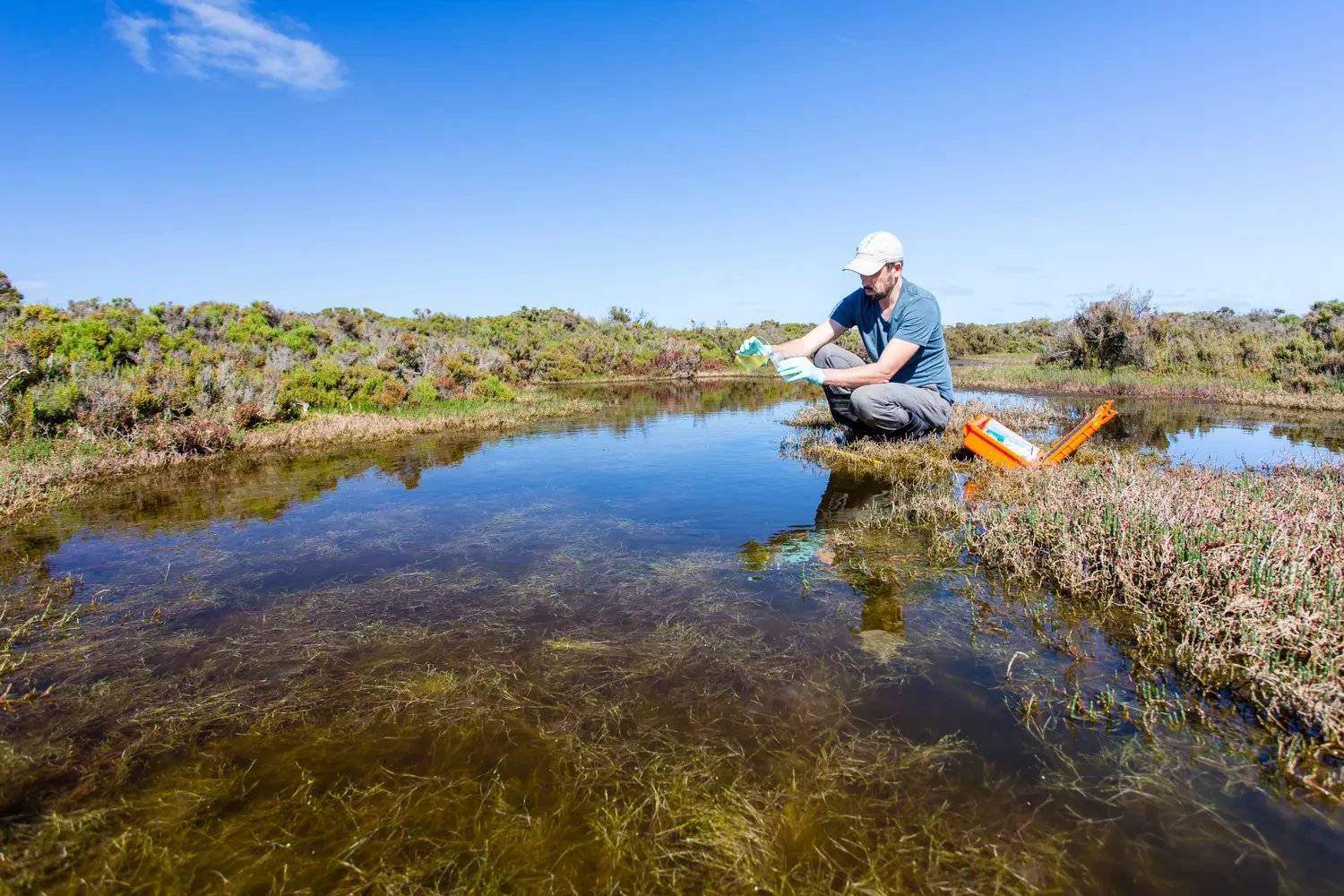
A habitat assessment, sometimes called a habitat evaluation, reviews, and rates habitat quality and assesses the integrity of the aquatic or terrestrial system to support species. According to the Environmental Protection Agency (EPA) standards, one ranking system includes categories of; poor, marginal, suboptimal, or optimal quality. This assessment influences what permitting, and development activities can be approved for the region.
A habitat assessment is a part of the environmental due diligence process and can aid site selection. Habitat assessments are generally required for land development projects.
This assessment not only informs land developers if their potential site is usable but also for potential conservation efforts.
Why is a Habitat Assessment Important?
Habitat assessment aids in identifying biodiverse and ideal habitat conditions. Any change to one part of the habitat can impact the entire system. This holistic relationship means there are regulations for land developers interacting with various ecosystems. Altering the sediment in a stream may not seem incredibly impactful, but even a small change to the makeup of a streambed can lead to years of habitat restoration efforts.
Additionally, habitats may be home to endangered species or other protected natural resources requiring additional regulation. These regulatory requirements can cause delays to a project site and impact costs. Land developers can avoid expensive delays by introducing habitat assessment early in the development process, possibly during site selection.

Wildlife Habitat Definition and Requirements
The U.S. Fish and Wildlife Service states the definition of “habitat” in the endangered Species Act (ESA). This rule states, “for the purposes of designating critical habitat only, habitat is the abiotic and biotic setting that currently or periodically contains the resources and conditions necessary to support one or more life processes of a species.”
Further definitions have been introduced over the years but have yet to receive approval.
Stream Habitat Characteristics and Impacts
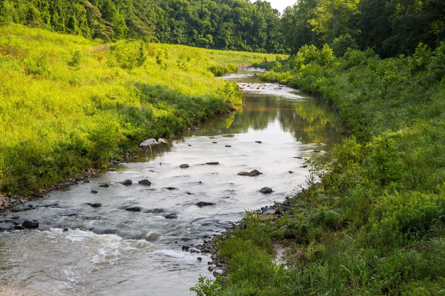
When assessing a stream habitat, experts use a variety of regulated standards for measuring stream characteristics. These regulations allow for consistency in assessment and more accurate measurements of change.
Riparian Zone
This region is the transitional zone between water and land that rests on the water’s edge and the upper edge of the floodplain.
These regions are home to shrubs, trees, tall grass, and other vegetation protecting water from pollutants. This vegetation provides shade for wildlife and maintains water temperature. Yard maintenance and paved roads that accelerate runoff into streams negatively impact this critical ecosystem.
Substrate
The substrate is the bottom surface of the stream inhabited by plants or animals.
During habitat assessment, specialists will assess features such as woody debris and embeddedness- the degree to which mud, sand, or silt bury rocks. Changes to these features can deprive fish of their habitat. Experts will estimate the amount of silt or other fine sediments to determine embeddedness during the habitat assessment process. Assessing substrate will be subject to a different parameter set for each different stream bottom. The gradient of the stream (the types and sizes of substrate materials) impacts species' survival in this habitat, such as algae or some fish species.
Stream Bank
The stream bank is comprised of an upper bank and a lower bank. The upper bank is the bank region from the high-water line extending to the extremely high-water line. The lower bank portion is the region of the bank beginning at the standard water line and extending to the high-water line or starting at the upper bank.
Erosion to stream banks due to runoff or human interaction can lead to pollutants in the water and alter species’ covering from the vegetation of the bank.
Water
Water within streams can be classified as pools, runs, or riffles and glide habitat types. Pools are deep, slow-moving waters. Deep, fast-moving water with minimal turbulence is classified as a run. Shallow, fast-moving waters over a bed of rocks are riffles.
Decreased water speed can disrupt streambed vegetation or animals within the stream channel that hold onto rocks. Water quality can impact the health of the entire aquatic habitat and is therefore heavily monitored and regulated.
Free Permitting Checklist
Practical Tips to Avoid Environmental Risk on all Your Projects
Download our environmental permitting checklist to get a step-by-step list of ways to protect your project from the 9 most common environmental risks.
Land Development Requiring Assessment of Impacts on Habitat Quality
Land developed for residential, agricultural, or commercial use is subject to habitat evaluation. Missing this step in the due diligence process can lead to expensive mitigation efforts and extreme project delays.
Impacts on the surrounding watershed and land can impact ecosystems over time. It is always best to consult an expert and see what assessments and environmental efforts are required for your project site.

How to Perform a Habitat Assessment
Hire Expert Biologists
Expert biologists, such as environmental consultants, can perform habitat assessments for a project site. These experts will use state or federal habitat assessment forms, GIS mapping tools, underwater video, and other tools to assess a project site. This can be done during the initial due diligence process to aid site selection. Consultants will provide clients with a report of their project site in a few weeks to months. This field data report will contain environmental red flags and environmental permitting requirements found on the project site.
Automated Environmental Due Diligence Software
Environmental due diligence software, such as Transect, can be used to aid the habitat assessment process. Updated data will identify changes to habitat and evidence of a protected habitat via an endangered species map and comprehensive environmental report. This software uses site-specific data to identify environmental risks for easier due diligence. Some sites may require additional assessment.
Free Permitting Checklist
Practical Tips to Avoid Environmental Risk on all Your Projects
Download our environmental permitting checklist to get a step-by-step list of ways to protect your project from the 9 most common environmental risks.
